
Site and Feasibility Studies
All our projects start from a Feasibility Study to ensure the project’s goals are compatible with local regulations and terrain limitations. This phase includes:
Aerial Photography to scan the existing conditions and later obtain measurements, contour lines, a 3D model, and Point Clouds that can be used during the discovery as well as the design phase.
Due Diligence which typically includes utilizing surveys, publicly available electronic databases, such as GIS resources, as well as interacting with local administrations.
Sample 3D model from one of our drone scans. Zoom or orbit to view the model.
2D/3D MAPPING AND CONTOUR LINES

We can generate digital 3D terrain and CAD contour lines from a drone scan. Useful for preliminary studies and when a proper survey is not required or not yet available. We can provide a topography for preliminary studies in the following Formats: AutoCAD DWG (contour lines), Revit contour lines, or Toposurface.
See sample deliverable in our Drone Mapping page.
DUE DILIGENCE
We work with agencies and other disciplines to ensure the goals for the development don't interfere with the site features and regulations. Some examples are flood plain, wildlife areas, and local government restrictions.
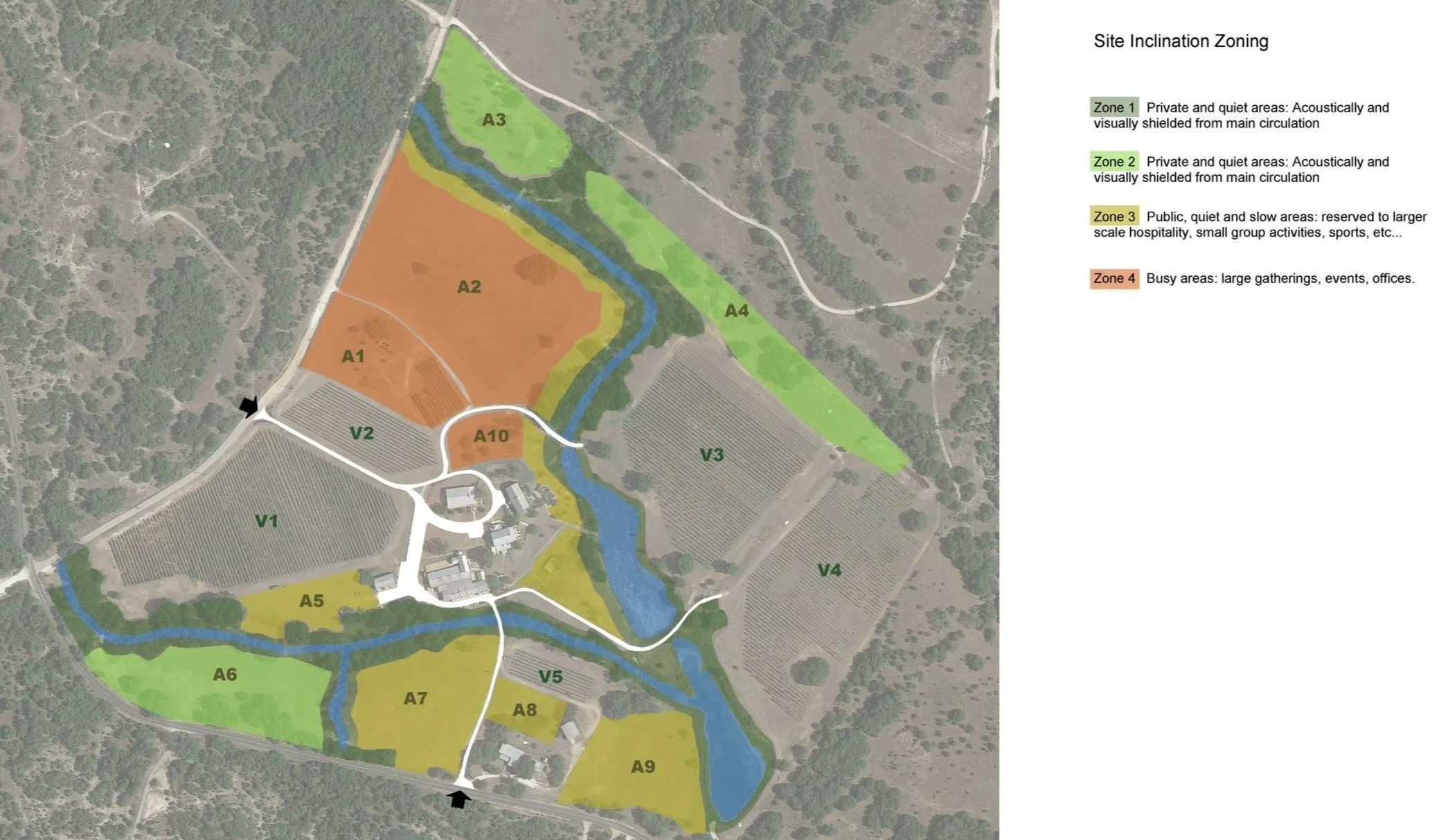
Challenges and opportunities: getting to know the site from multiple angles supports the design and improve outcomes.
See an example of a Feasibility Study in our Flat Creek Masterplan.